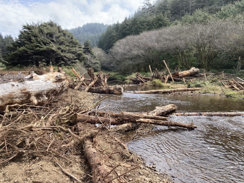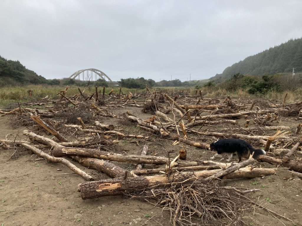
Just in time for winter storms, a consortium of public and nonprofit agencies have just completed a $425,000 habitat restoration project near the mouth of Big Creek, 10 miles south of Yachats.
The project was managed by the Newport-based Midcoast Watersheds Council and Oregon Parks and Recreation Department, which owns the 186 acres surrounding Big Creek that once was proposed to become a destination resort.
Most funding for the project came from state parks, the Oregon Watershed Enhance Board, and the U.S. Forest Service, with contributions from the Oregon Department of Fish and Wildlife, Siuslaw Soil and Water Conservation District and the Confederated Tribes of the Coos, Lower Umpqua and Siuslaw Indians.
The Midcoast Watersheds Council was formed in 1994 to help plan and coordinate watershed enhancement projects in the five major river basins stretching from the crest of the Coast range to the ocean in Lincoln and Benton counties and 28 smaller streams that flow directly into the Pacific.
“The process started years ago … at least five if not 10 years,” said Trevor Griffiths, a restoration specialist with the watersheds council. “It’s been a long time in the making … but it happened pretty fast once you have everything lined up.”
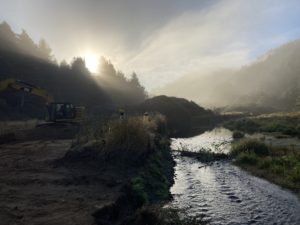
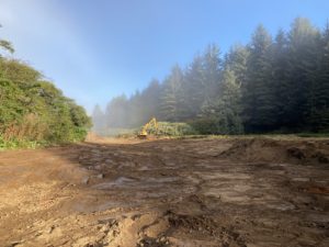
The restoration work starts a quarter-mile upstream from U.S. Highway 101 and goes east for another half mile. The work, funded in April and completed in late September, created 14 acres of floodplain habitat, restored wetlands, built 10 in-stream habitat structures, and placed over 200 logs on the floodplain.
The watersheds council will oversee planting of trees, shrubs, flowers and other plants this winter, said Griffiths.
The restoration is designed to benefit threatened coho salmon, as well as Chinook, steelhead, cutthroat trout, lamprey, and smelt. ODFW field workers are monitoring before-and-after effects of the project on fish, Griffiths said.
The project is also intended to help other wildlife species such as the endangered Oregon silverspot butterfly, which uses fields nearby, and beaver, said Evan Hayduck, watershed council coordinator who managed the project. Several of the habitat structures were designed to act as beaver dam “anchors” to encourage dam building and take up long-term residence long after construction crews and heavy equipment have moved out, Hayduk said.
Trask Design and Construction of Alsea was the contractor for the project. Two other contractors, including tribal representatives, watched over the excavation work to ensure that no cultural resources were damaged, since this area was historically used by native Americans.
“This area was historically very important for tribal groups,”said Jesse Beers, cultural stewardship manager for Confederated Tribes of the Coos, Lower Umpqua and Siuslaw Indians. “Just to the north of here, Tenmile Creek was an important trading area between tribes.”
A majority of the Big Creek basin is relatively undisturbed, in excellent condition and most of the watershed is publicly owned forests.
Hayduk said that made the project in the lower reaches of the watershed all the more important as it focused on areas of degradation in an otherwise healthy watershed, providing slow-water habitat otherwise lacking for salmon juveniles during a critical stage in their life cycle.
The lowland area was once proposed to be the site of a destination resort. For almost 20 years, beginning in the 1990s, many residents of the area rallied against that proposal. Finally, in 2009 The Nature Conservancy acquired the property until Oregon state parks could buy it from them.
“We know that adult and juvenile salmon will benefit from the protected pool habitat that the wood structures create in the stream and from the overhanging native vegetation,” Jeff Feldner, a former commercial fisherman who serves on the watershed council board, said in a news release announcing the project’s completion. “Even more important is the habitat we’ve created for the vulnerable young salmon that would otherwise be washed to sea. Now they’ll be able to shelter in the wetlands and on the floodplain when the stream spreads out its force during high water flows.”
